From East Troy to the Geneva Lake shoreline - boundary, ALTA, CSM, topographic, and construction surveys by crews who work this county every week.
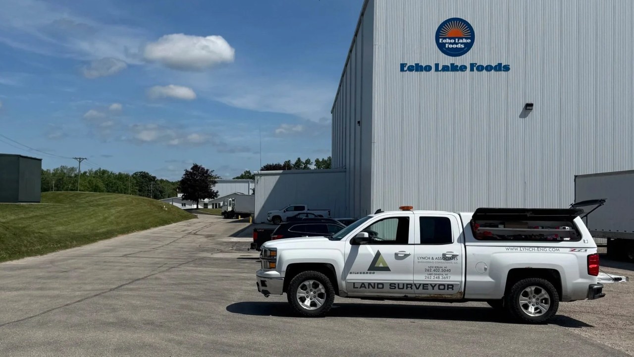
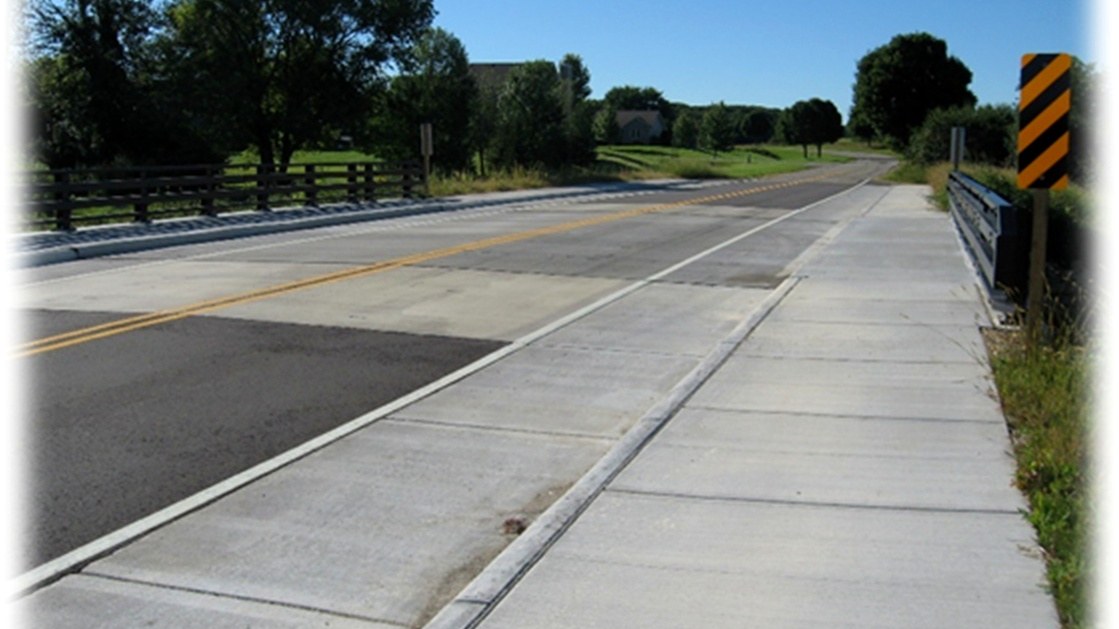
Walworth County is core territory for Lynch & Associates. We serve as engineer for the Town of Linn on Geneva Lake's south shore, we have delivered a decade of street, utility, and dam projects in East Troy, and we inspected the Borg Road bridge replacement in the Town of Delavan. That engineering work keeps our survey crews in the county constantly - which means the surveyor who shows up at your property line has probably worked your township before.
The full survey practice is available county-wide: boundary surveys and retracements, ALTA/NSPS land title surveys with negotiated Table A items, Certified Survey Maps for lot splits, subdivision plats, topographic and site surveys, construction staking, and 3D laser scanning for structures and as-builts.
Lakefront work gets special attention here. Geneva Lake parcels combine some of Wisconsin's highest property values with century-old plats and shoreline setback rules - exactly the conditions where a careful boundary retracement and a surveyor who documents everything earn their fee. We survey, design, and permit lakefront improvements as one team.
Survey and engineering work that keeps our crews in the county - follow any project for the full story.
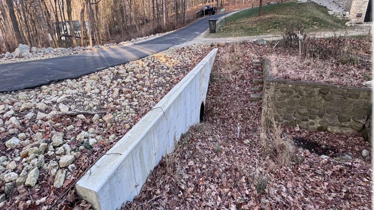
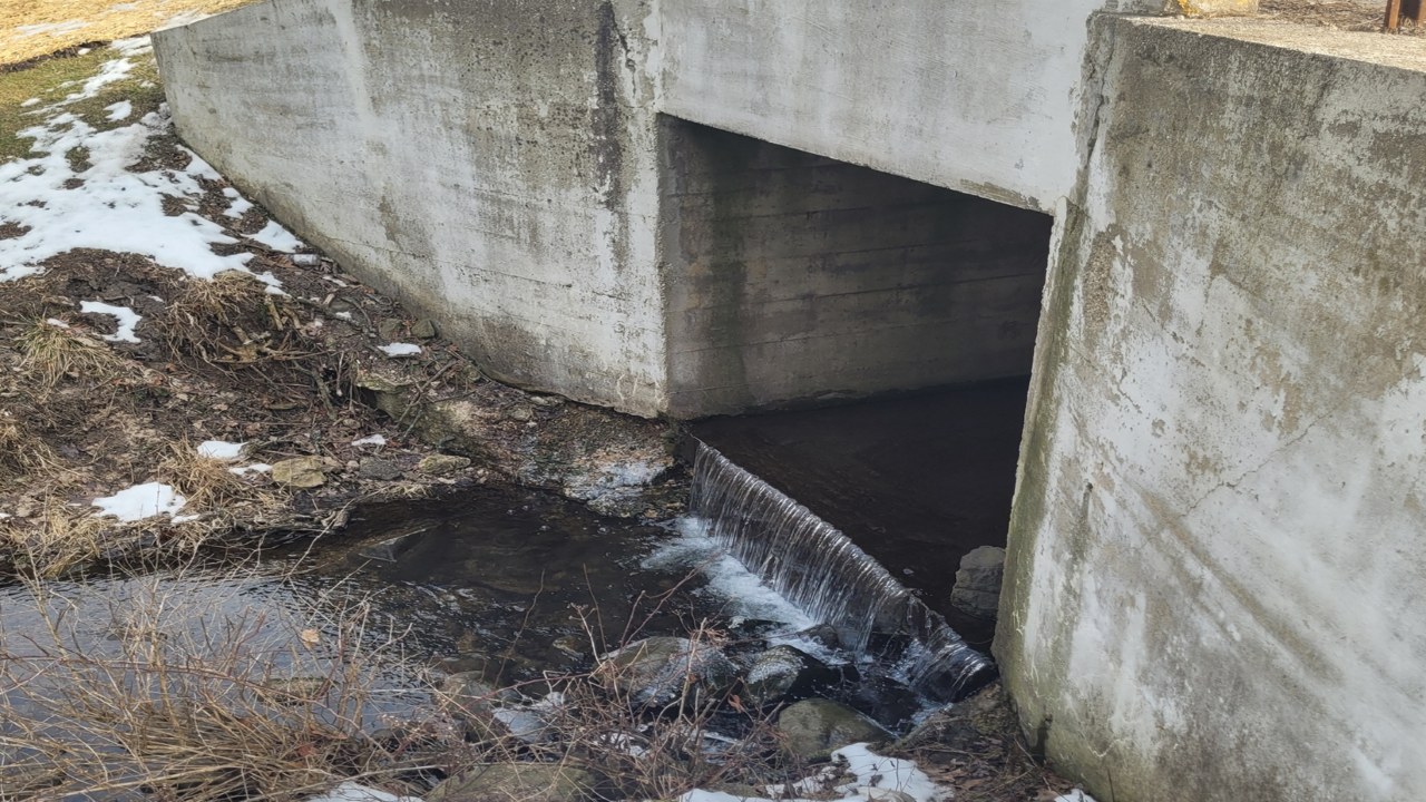
Also in the county: a decade of work in East Troy - dam removal, Village Square, School Street, STH 20 watermain, and the business park.
Certified Survey Technician with 18 years in the field - GPS and robotic total station expert who has led crews from county roads to the Zoo Interchange.
Expert in Civil 3D, Trimble Business Center, Leica Cyclone, and TopoDOT - the bridge between field data and finished design.
Seven years across ALTA/NSPS surveys, CSMs, condominium plats, and deed research - the records work that makes a boundary defensible.
Focused on lakefront and site development across Walworth County - grading, stormwater, and erosion control for properties on and around Geneva Lake.
Surveys here are backed by the full firm - if your survey becomes a site plan, a lot split, or a shoreline project, the engineering team picks it up without a handoff.
Yes - shoreline work is a specialty. Lakefront parcels combine high property values, century-old plats, and shoreline setback rules, so precise boundary retracement matters more there than almost anywhere else. We handle boundary surveys, topographic mapping, and site design for properties around Geneva Lake and the surrounding lake communities.
Usually a Certified Survey Map (CSM), which in Wisconsin can create up to 4 lots. We prepare the CSM, coordinate the municipal and county approvals, and record the map. Larger splits require a subdivision plat, which we also prepare.
Our crews dispatch daily from Burlington, on the county's doorstep, so most Walworth County properties are within a 30-minute drive. Turnaround depends on parcel complexity and records research - send the parcel address through our survey request form and we will give you a realistic schedule within one business day.