Life at Lynch · November 2026 · Technology
Most of what changes in a survey practice arrives quietly - a better instrument, a faster workflow, one more thing a crew can do before leaving site. The newest addition to ours flies.
Seth Oldenburg, our Sr. Survey Crew Chief, recently earned his FAA Remote Pilot Certificate. That is the credential required to operate a drone commercially, and it means aerial work on a Lynch project is now flown by our own certificated pilot rather than subcontracted out.
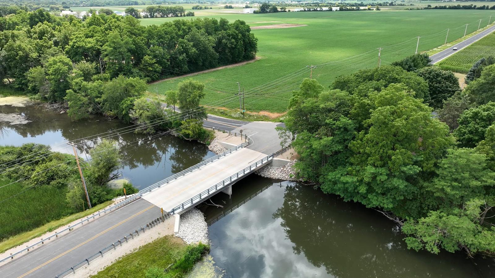
A structure and its approaches in one frame - the view that is awkward to get from the ground and quick to get from above.
What it is actually good for
A drone is a camera on a schedule you control. That turns out to matter most on the jobs where the ground is working against you: a site too large to walk efficiently, a creek crossing you cannot stand in the middle of, an active earthwork operation that looks different every week.
Where It Helps
A dated record of conditions, from an angle that shows context rather than just the detail in front of you.
Coverage across ground that would otherwise be walked shot by shot.
The same frame, flown week over week, so progress and disputes are both easier to settle.
A look at roofs, slopes, structures and outfalls without putting someone on a ladder or in the water.
Wetland edges, wooded parcels and long corridors where access is the limiting factor.
Imagery from this month rather than whatever the last public flyover happened to capture.
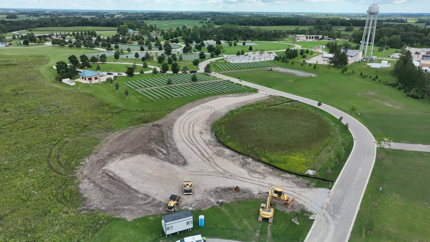
An active earthwork site - the kind of job where last month's imagery is already wrong.
It does not replace a surveyor
Worth saying plainly, because the technology gets oversold: a drone does not replace the judgment of a licensed surveyor. It does not set a monument, resolve a boundary, or decide which of two conflicting records governs. What it does is gather more information, faster, over ground that is expensive to cover on foot - and hand that information to people who know what to do with it.
It sits alongside the rest of the toolbox on our specialty and technology side - GIS, LiDAR, photogrammetry and 3D modeling - and feeds the same survey and design work we were already doing.
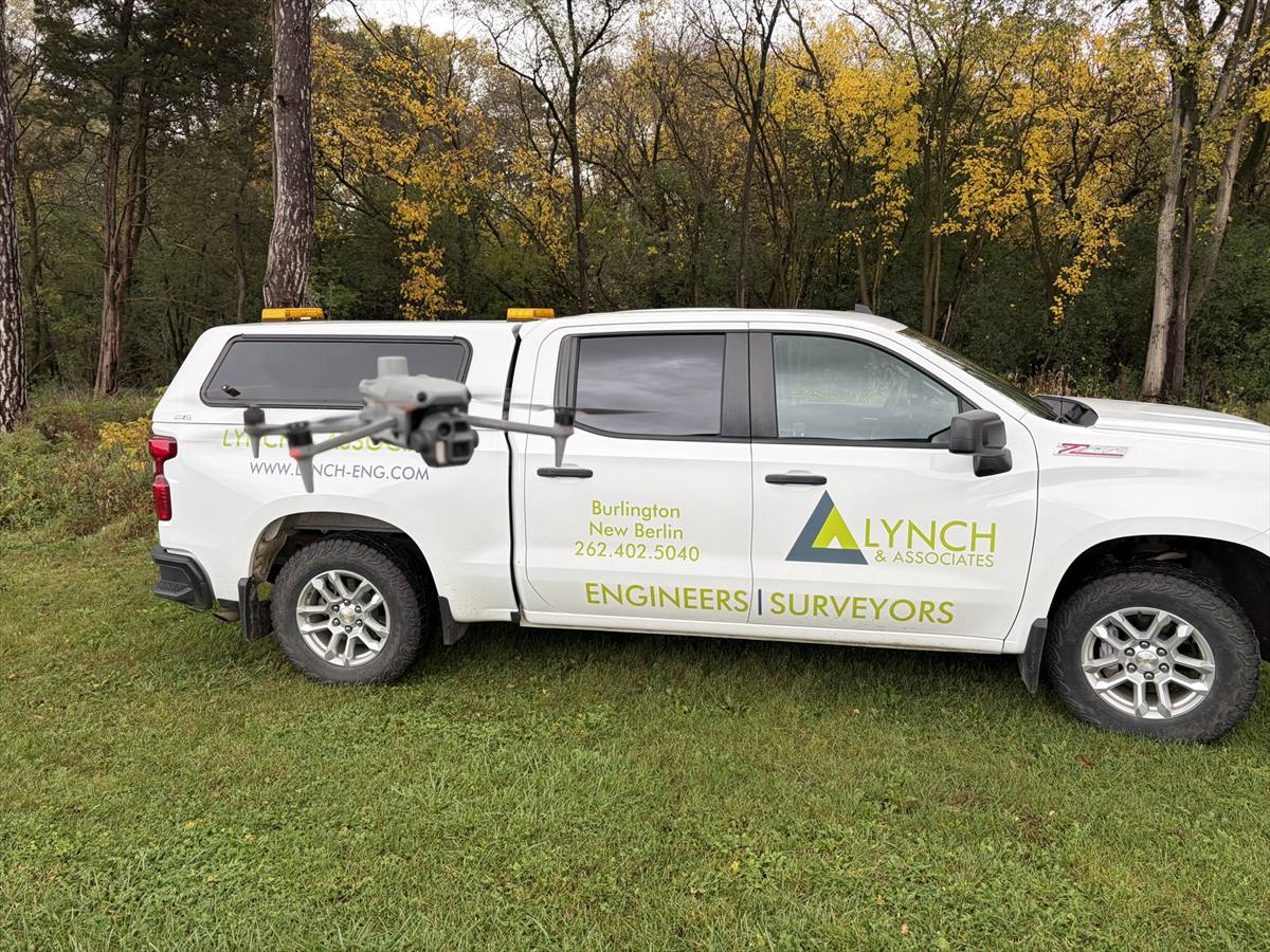
It travels with the crew, not with a specialist who has to be booked a week out.
Why we pay for the certificate
The certificate is Seth's, not the firm's. That is the point. Paying for licensure, training and the hours it takes to earn them is how a firm our size keeps up with capability that larger firms buy outright - and it is why people stay long enough to become the ones teaching it.
Congratulations, Seth. Nicely done.